 Download
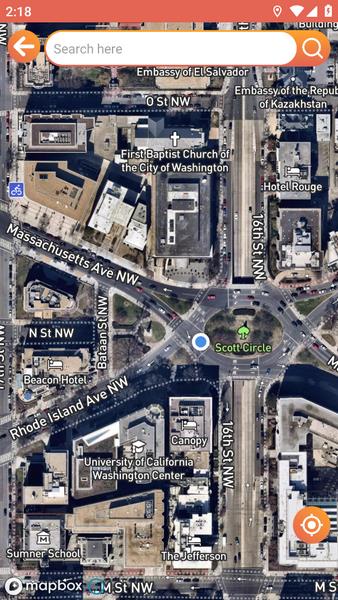
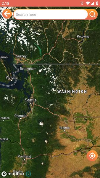
Never be lost again with Live Satellite Location Maps, the premier Android navigation app. This app offers incredibly detailed 3D maps, constantly updated for precise route planning. Its powerful search function quickly locates destinations, providing real-time traffic updates and alerts to avoid delays. Live Satellite Location Maps integrates a GPS for hands-free navigation, displaying speed and offering clear voice guidance. Gain confidence with features showing latitude, longitude, altitude, and road speed limits. Personalize your experience by selecting from various map themes, saving favorite locations, and reviewing your route history. Download now for a safe and personalized navigation journey.
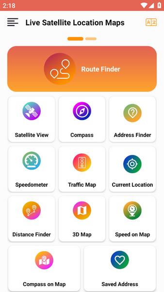
Key Features of Live Satellite Location Maps:
- High-Resolution 3D Mapping: Enjoy crisp, regularly updated 3D maps for clear route visualization.
- Advanced Search & Road Information: Easily find destinations with the integrated search engine, complete with real-time traffic conditions and alerts.
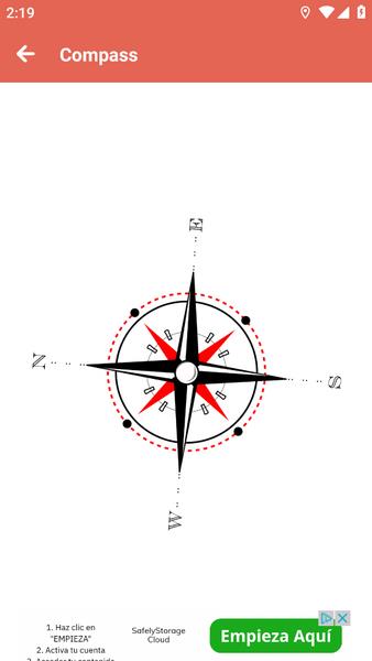
- Integrated GPS Navigation: Benefit from hands-free navigation, speed tracking, and voice-guided directions.
- Comprehensive Road Data: Access detailed information including latitude, longitude, altitude, and speed limits.
- Customizable Map Themes: Choose from a variety of map themes for optimal viewing conditions.
- Route History & Saved Addresses: Conveniently save frequent locations and review past routes for future planning.
In short: Live Satellite Location Maps is a robust Android application offering high-resolution maps, a sophisticated search engine, real-time traffic information, and essential GPS features. Its comprehensive road data and user-friendly saving options simplify route planning and enhance the overall navigation experience. Download today and experience effortless navigation.